The whole farm.
Not another disconnected dashboard.
A grower experience connecting mapped land, field conditions, production planning and harvest readiness.
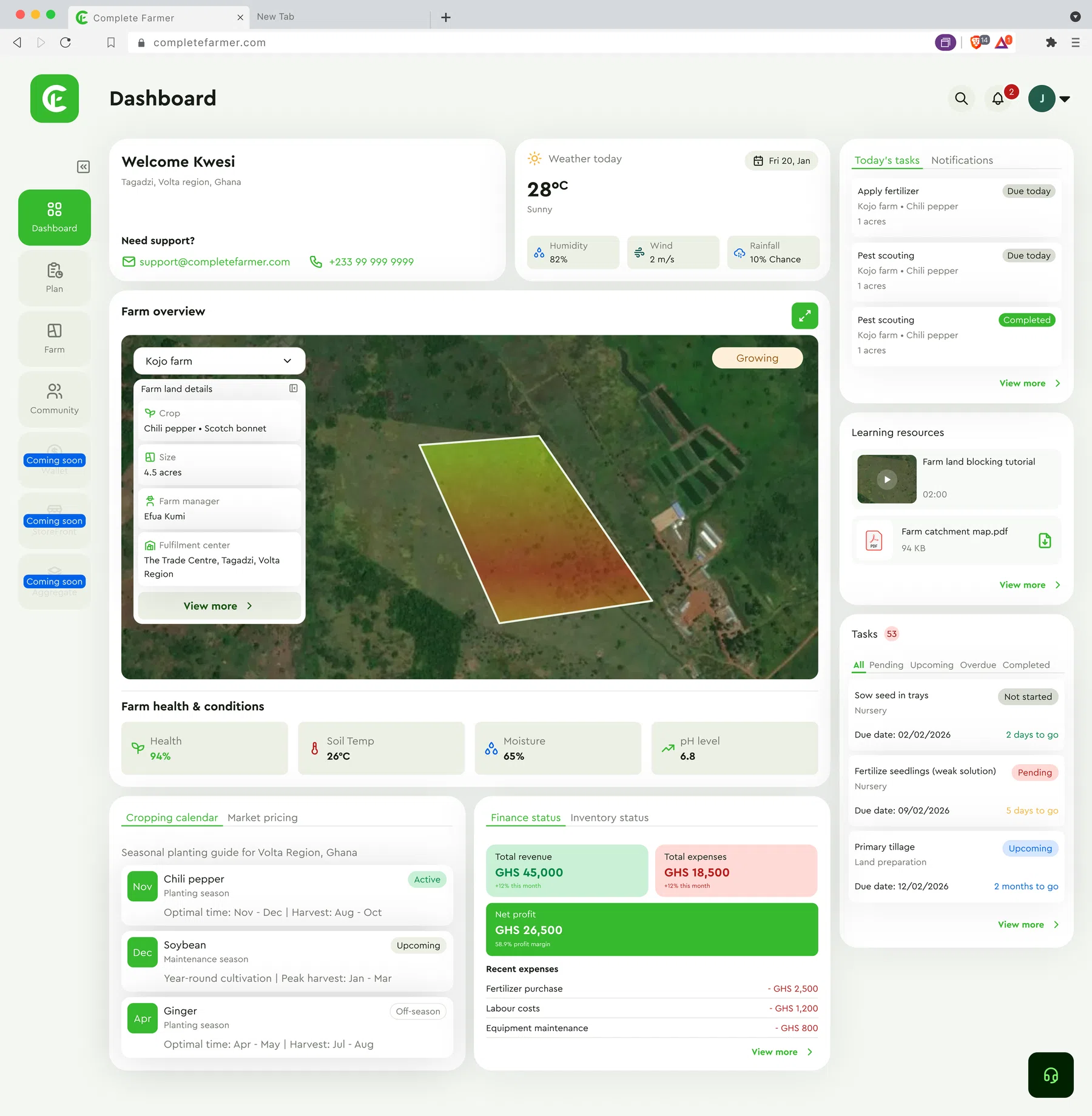
From the first boundary
to the next harvest.
Better decisions start with a better view of the farm.
Map the land
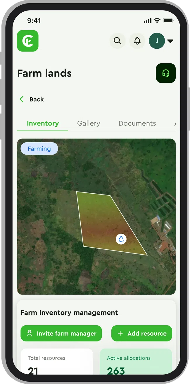
Define farm boundaries and make the land a structured part of the product.
Read the conditions
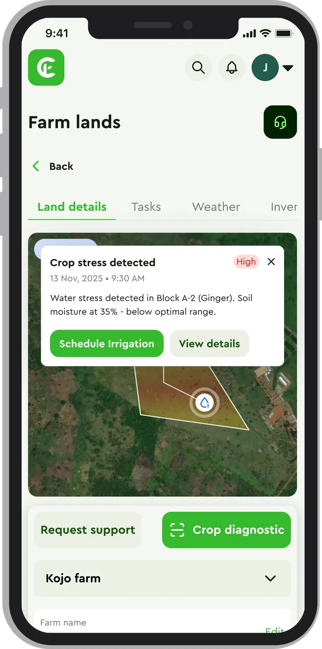
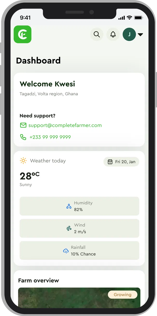
Bring soil, weather and satellite-derived information into the same working context.
Plan the work
Connect production activities and harvest checks to the farm they belong to.
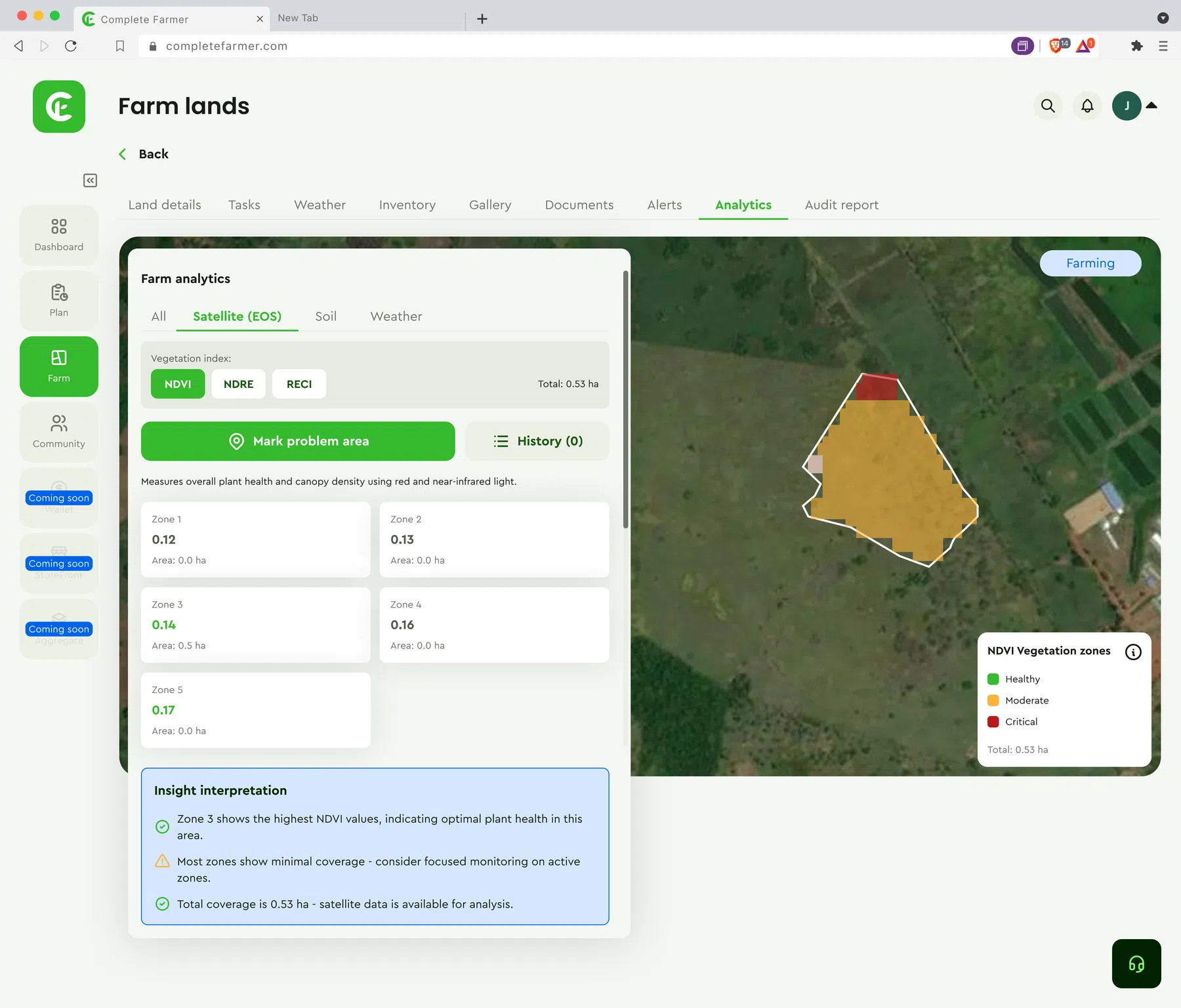
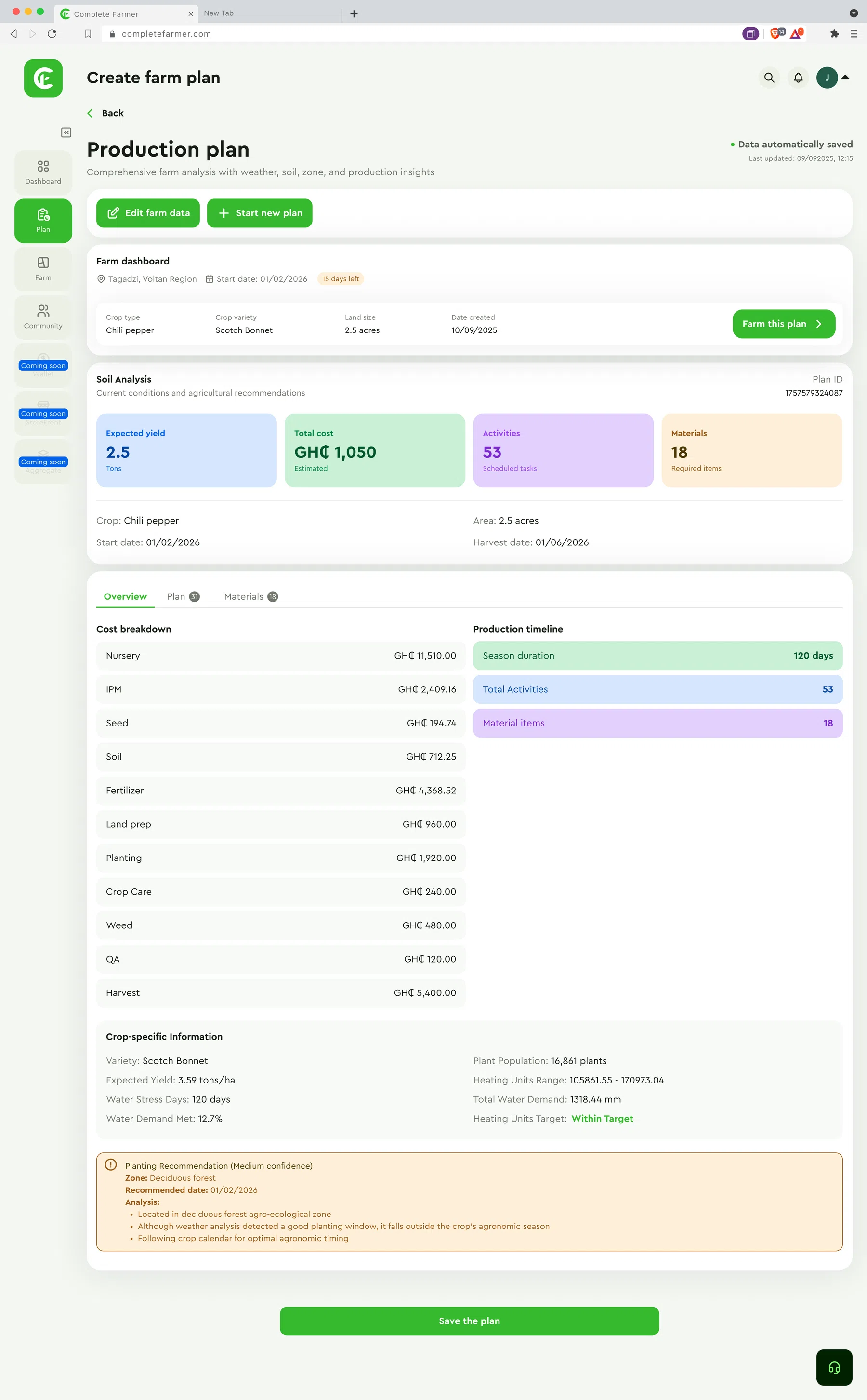
Conceptual workflow illustration.
Not a live system, operational metric or production architecture diagram.
Field data becomes useful
when it connects to the work.
The product story is the relationship between land, its conditions and the activities planned around it. The illustration is a conceptual sequence—not a claim that every data point or decision is automated.
Land + context
A mapped farm provides a common reference for field information.